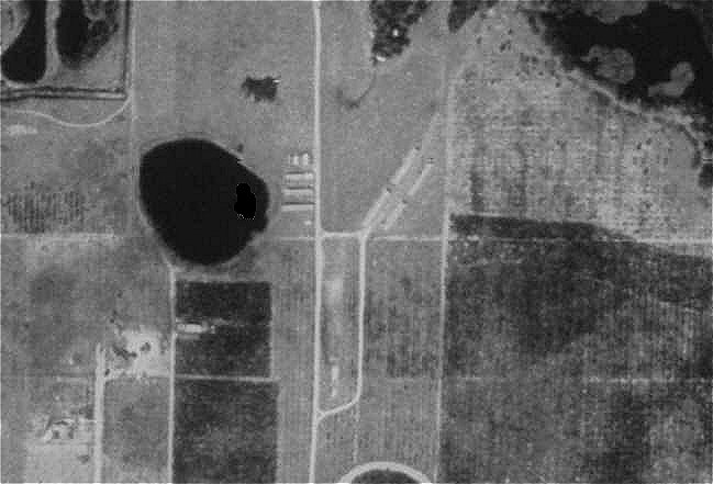

| Satellite Altitude - 219.4 kilometers above the earth
Sun Angle - 43.6 degrees NorthWest Corner Point - Latitude 29.152713, Longitude -83.153053 NorthEast Corner Point - Latitude 29.152713, Longitude -81.415002 SouthEast Corner Point - Latitude 28.317433, Longitude -81.415002 SouthWest Corner Point - Latitude 28.317433, Longitude -83.153053 Source Image Date - 18 Feb 1998 22:20:11 PM GMT |